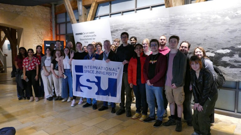
AS26 – Web Development for Sustainability
Building Earth Observation Dashboards
Lead: Dr. Moulay Anwar Sounny-Slitine
Overview
- Strasbourg, France
- 8 – 19 June 2026
- Course taught in English
- 2,000
Climate change, biodiversity loss, and environmental degradation are among the most pressing challenges of our time. Satellite imagery and Earth observation data offer unprecedented opportunities to monitor, analyze, and communicate these challenges – but only if we can make this data accessible and actionable.
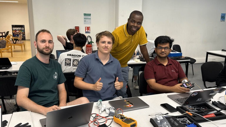
This intensive two-week course teaches participants how to build interactive web-based dashboards that transform complex satellite data into clear, compelling visualizations for decision-makers, researchers, and the public. Students will gain hands-on experience with frontend web development, geospatial data visualization, and satellite image processing—all while addressing real-world sustainability challenges.
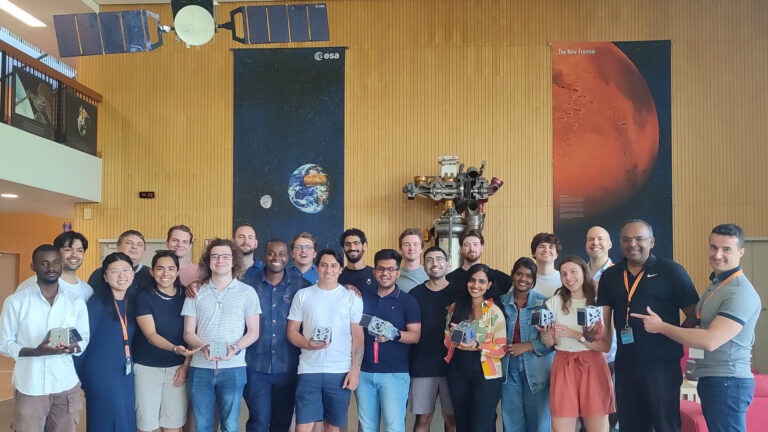
By the end of the course, each team will have developed and deployed a functional web dashboard for an environmental monitoring application – a tangible portfolio piece demonstrating both technical skill and sustainability impact.
- 3 ECTS
- Laptop required
Master’s Pathway: Credits earned in this course may be applied toward the ISU MSS or MSc program, with possible tuition reduction, upon successful completion and admission.
Apply now — external seats are limited.
Program Summary
Weekdays 9:00–17:30 | ~80% hands-on
Week 1: Foundations
- Introduction to Earth observation and sustainability applications
- Web development fundamentals (HTML, CSS, JavaScript)
- Working with geospatial data formats (GeoJSON, raster data)
- Introduction to mapping libraries (Leaflet.js)
- Accessing open satellite data platforms (Copernicus, USGS, Google Earth Engine)
Week 2: Building & Deployment
- Satellite image processing for web visualization
- Interactive dashboard design principles
- Building responsive, user-friendly interfaces
- Integrating real-time and historical Earth observation data
- Project development and deployment
- Final presentations
What You Will Learn?
By the end of this course, you will be able to:
Build interactive web-based dashboards for visualizing Earth observation data
Access and process satellite imagery from open data archives (Sentinel, Landsat, Google Earth Engine)
Apply geospatial web development techniques to address sustainability and environmental monitoring challenges
Design user-friendly interfaces for communicating environmental data to diverse audiences
Deploy a working web application to share with stakeholders
Evaluate the strengths and limitations of different Earth observation data sources for specific sustainability applications.
Additional informations
This course is particularly suited for:
- Mid-career professionals looking to add geospatial web skills
- Environmental scientists wanting to communicate data more effectively
- Web developers interested in sustainability and space applications
- GIS analysts seeking frontend development skills
- Students in geography, environmental science, computer science, or data science
External seats: limited
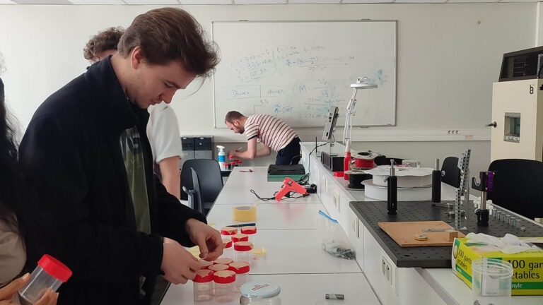
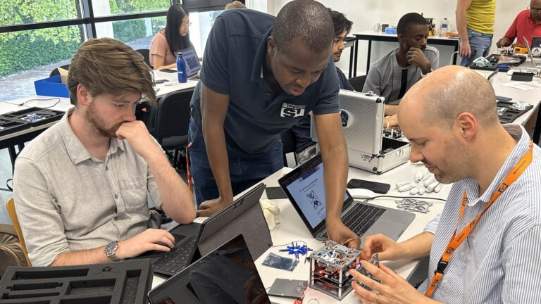
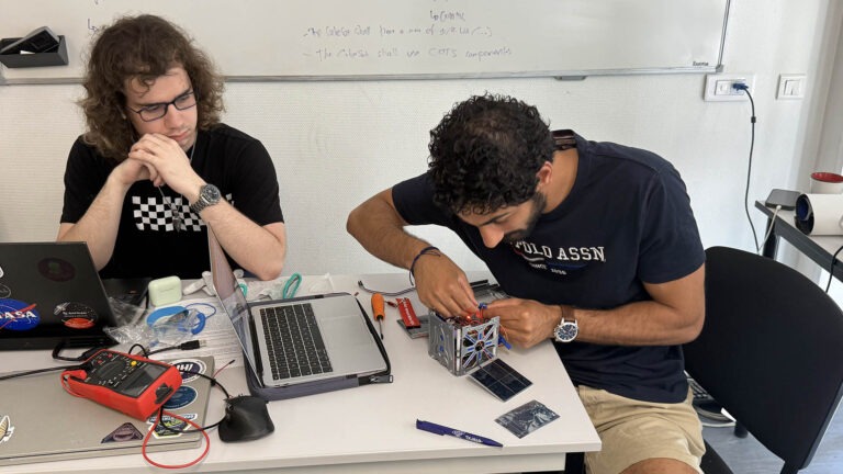
20% Lecture / 80% Hands-On
This is a project-based course. Introductory lectures provide context, but the majority of time is spent building, coding, and developing real applications.
Schedule: Weekdays, 9:00–17:30
Component | Weight | Description |
|---|---|---|
Dashboard Project | 50% | Teams develop a working web dashboard for a sustainability application. Evaluated on functionality, design, and sustainability impact. |
Technical Presentation | 35% | Conference-style presentation of the project to ISU faculty and invited reviewers from the space/sustainability sector. |
Individual Contribution | 15% | Instructor observations and peer evaluations of teamwork and individual technical contribution. |
No formal exams. Grading on a French 0–20 scale. Certificate of completion + ECTS transcript.
Basic familiarity with web technologies (HTML, CSS, JavaScript) is helpful but not required. No prior experience with satellite data or GIS is necessary—the course is designed to be accessible to motivated learners from diverse backgrounds.
Suggested Pre-Reading Resources
Web Development Foundations:
- freeCodeCamp Responsive Web Design (free course): https://www.freecodecamp.org/
- MDN Web Docs – Getting Started with the Web: https://developer.mozilla.org/
Geospatial & Earth Observation:
- Leaflet.js Quick Start Guide: https://leafletjs.com/examples/quick-start/
- Google Earth Engine Introduction: https://earthengine.google.com/
- “An Introduction to Earth Observation” (ESA): https://www.esa.int/Education
- Copernicus Open Access Hub: https://scihub.copernicus.eu/
Sustainability Context:
- UN Sustainable Development Goals: https://sdgs.un.org/
- “The Value of Satellite Earth Observation for Sustainable Development Goals” (GEO): https://www.earthobservations.org/
Advanced Studies
The “Advanced Studies” that are part of ISU’s Master programs – the Master of Science in Space Studies (MSc) and Master in Space Studies (MSS) are now also open for participation to all.
They take place onsite, at ISU central campus in France.